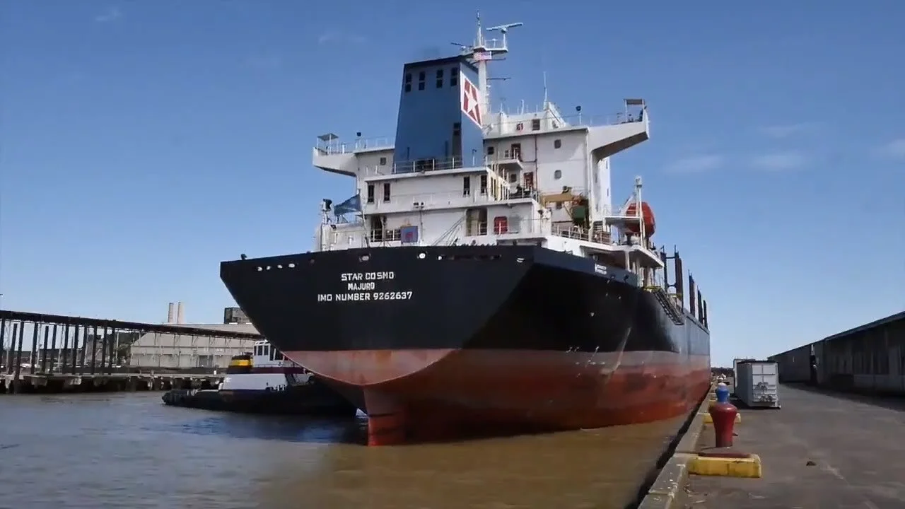
The Port is the gateway to the largest shipping corridor in the world.
The St. Bernard Port, Harbor and Terminal District encompasses over 430 acres, spread out over four terminals, located between Mile Marker 81 and Mile Marker 91 AHP on the Mississippi River.
Arabi Terminal
The Port’s Arabi Terminal, located at Mile Marker 90.5, features the only calm-water, deep-draft slip on the lower Mississippi River. The terminal consists of five ship births, a mooring dolphin, a 40,000 sq. ft. dry bulk warehouse, and a 186,000 sq. ft. dockside transit shed. There is also an additional 200,000 sq. ft. of general warehousing space. The Arabi Terminal includes convenient interstate connections, as well as connections to all six Class 1 Railroads. Learn more about connectivity.
Chalmette Terminal
The Port’s Chalmette terminal is a 216-acre industrial park, located at Mile Marker 89.5. The Chalmette Terminal features a tour boat landing barge, 600,000 sq. ft. of building space, and one deep-draft midstream vessel mooring and barge fleeting facility. The terminal is also home to the Port’s Administration and Security Complex, which includes a state-of-the-art Marine Safety Operation Center (MSOC). Learn more about the Industrial Park.
Meraux Mooring
The Meraux Midstream Mooring Buoys are located at Mile Marker 86.3 AHP, and span 1,300 linear feet, with barge fleeting facilities adjacent to the buoys. They can accommodate up to a Capesize oceangoing vessel. The Meraux Midstream Mooring No. 2 facility is located at MM 86.1 AHP and is utilized for the loading of cargo to and from barges.
The nation depends on this strategic waterway for the transportation of vital goods and materials.
Metallic ores and minerals, ferrous alloys, petroleum coke, zinc concentrates fertilizers and steel are just some of the important materials unloaded here from ocean going vessels. Then, by barge fleets, rail and trucks, these cargoes are shipped to plants and facilities throughout the U.S. Their destinations are Pittsburgh, Indianapolis, Saint Paul, Chicago, St. Louis, Memphis, Little Rock, Houston, Birmingham, Georgia, Kentucky, Florida, Oklahoma, and all points in between.
Intermodal Connectivity
Cargo off-loaded at the Port is transported to cities across the nation by trucks, rail cars, planes and barges.
Highways
The Port terminals are located along State Highways 39, 46 and 47, and are minutes from Interstate Highways I-510, I-10 and I-610.
Railroads
Norfolk Southern serves Port Facilities, with direct connections to all six class one railways via the New Orleans Public Belt Railroad.
Air Service
The Port offers convenient access to both the New Orleans International Airport and the New Orleans Lakefront Airport.
Waterways
Located on the Mississippi River mile marker 86.5 through 90.5, Channel Depth 45'+. The River also provides access to the Intracoastal waterway, the Gulf of Mexico, and the Industrial Canal.


